A text message just came in to a local farmer’s phone: Mountain Bull at Ngare Ndare Pass. Geofence break time: 0945hr, Geofence position break Estimated Latitude: 1.168867, Estimated Longitude: 37.581724.
This seemingly dry text message had powerful implications for this farmer. Within minutes he could mobilize a team to go and chase the bull away from the farm areas long before he got too close for anyone’s comfort.
The system has come a long way. In phase one of the project, we developed the unique Geofencing system, made possible through the technology of utilizing Safaricom cell phone SIM cards installed in our GSM elephant collars.
A virtual fence line is programmed in GPS positions into the tracking collar of crop raiding elephants, which creates a Geofence around the particular animal. Geo-fencing refers to virtual fence lines within a computer GIS. If the elephant strays outside of its known range and either breaks a reserve fence or enters a local village to raid crops, the collar sends an SMS text message to both the reserve manager and STE staff alerting us of the immediate problem, and the location of the elephant, enabling rangers and reserve staff to locate and drive back the elephant into the reserve boundaries.
Kimani learns a lesson
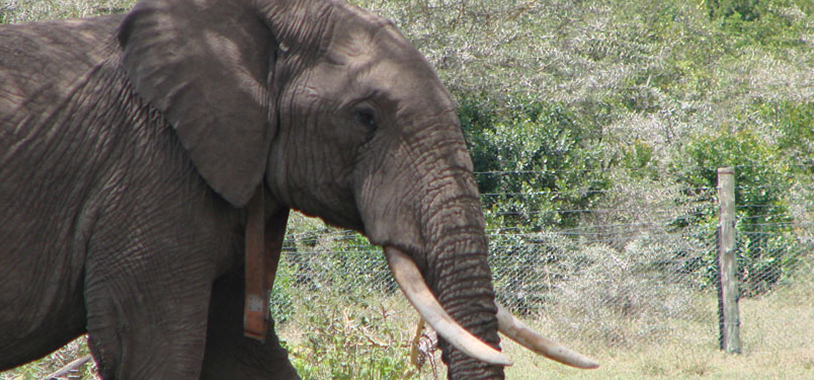
Kimani was the first elephant to be collared and tested under the Geofencing. He became the focus of the Ol Pejeta management due to his considerable skill in breaking expensive fences. In December 2005 he went on a crop-raiding spree that lasted 21 straight nights. The management literally had him in their rifle sights when they saw his tracking collar and called Save the Elephants out of professional courtesy. It gave us the chance to set up the geo-fence and within several weeks Kimani, through the negative reinforcements provided by the rangers each time he left the ranch, had been trained not to break the Ol Pejeta fence. By 2008 he had not returned to crop raiding. It is our hope that he learned a lesson and other crop-raiders will respond in a similar fashion. The well-known elephant Mountain Bull, who was responsible for raiding countless farms was geofenced and has rarely been seen around those farms actively deterring him.
We developed our own in-house system that allows us to customize Geofences and the type of alert messages we receive. In collaboration with the Laikipia Wildlife Forum, we made accurate maps around Ol Jogi ranch and along the new Southern Laikipia elephant boundary. We developed a virtual fence line around Ol Pejeta and Ol Jogi ranches, which coincided with the actual boundary fence of the properties.
We are forging ahead to improve the technology, reducing the frequency of text messages to only alerts, and expanding the circle of people receiving them to include more trusted community members who are labouring under the weight of conflict with wildlife and would benefit from a “heads-up.” After Laikipia, this project will be expanded to Mara in 2014, and potentially Tsavo, which is another high conflict zone, in conjunction with our elephants and bees project.
Geofencing Helps Prove the Elephants and Bees Hypothesis.
Having found that elephants run from the sound of bees, in 2007, we set up a unique beehive fence line in the area to see if they would deter elephants from raiding crops. To test our hypotheses, we geo-fenced several known crop-raiding elephants to see if their behaviour changed once confronted with large concentration of bees. Thanks to the geo-fencing technology, we were able to witness and confirm that bees did in fact deter elephants from crop raiding.


