Uniting Africa
The new Continental Tracking Initiative
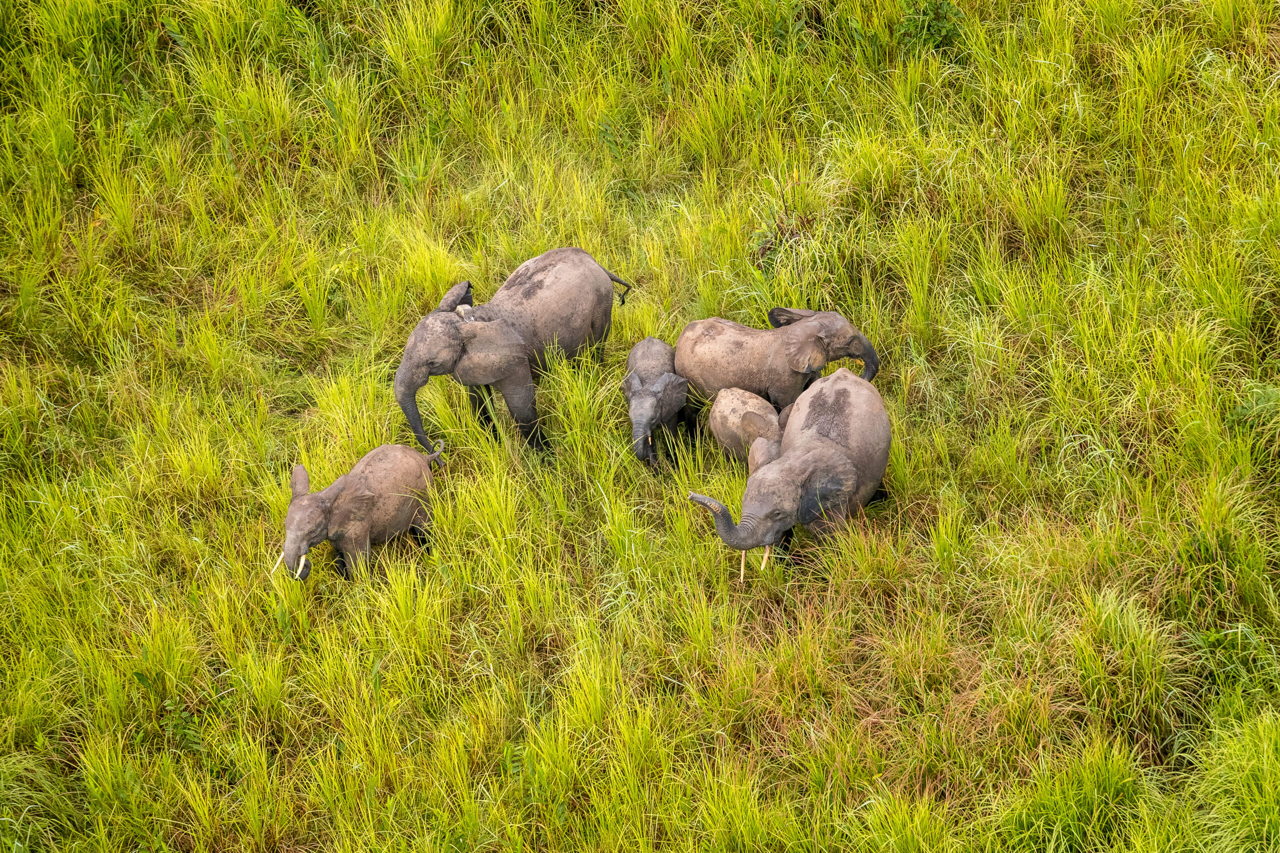
Tracked elephants in Garamba National Park, DRC. Photo by Marcus Westberg/Garamba National Park
For more than three decades, Save the Elephants has pioneered innovation in using tracking technology to understand and protect elephants. From initial collar deployments to the software systems that were the foundation for EarthRanger (now the leading Protected Area Management System), STE research has been helping to defend elephants from poaching, habitat loss, and conflict.
Thousands of GPS tracking collars have been deployed on elephants across Africa, for many different reasons. Each tracked path tells a story about that elephant and its environment, yet too often the data is filed away and rarely used again once it has served its immediate purpose.
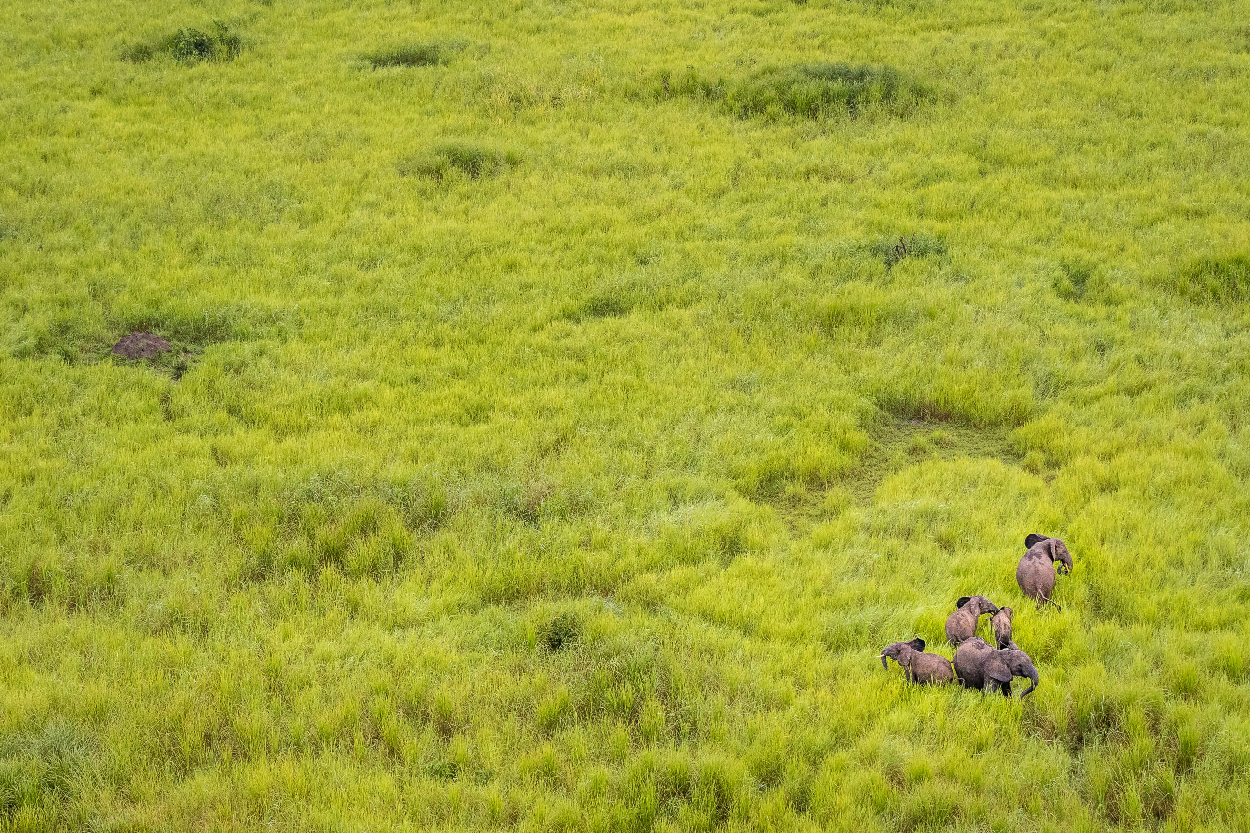
Elephants in Garamba National Park. Photo by Marcus Westberg/Garamba National Park
In 2024, STE created an online platform for collaboration on elephant tracking with a database of more than 3,200 collars from the past 30 years, uniting elephant researchers and conservationists from 14 organisations across 12 countries. Mapping and analysis tools have been developed and deployed across multiple sites in Kenya, Uganda, South Sudan, and Malawi, with training and hands-on support given to multiple conservation partners.
By fostering data-driven collaboration, this initiative is helping to shape the long-term future for elephants in these landscapes – revealing the factors that influence elephant movements and decisions, and helping define their needs. We are excited for what future collaborations will bring as we further our understanding of elephants and work to secure their future.